
Cronchamps topographic map
Interactive map
Click on the map to display elevation.
About this map
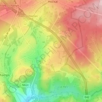
Name: Cronchamps topographic map, elevation, terrain.
Location: Cronchamps, Stavelot, Verviers, Luik, Wallonië, 4970, België (50.44258 5.96521 50.48258 6.00521)
Average elevation: 1,660 ft
Minimum elevation: 1,273 ft
Maximum elevation: 2,008 ft