
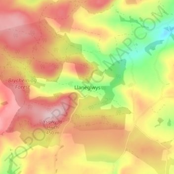
Llaneglwys topographic map
Interactive map
Click on the map to display elevation.
About this map
Name: Llaneglwys topographic map, elevation, terrain.
Location: Llaneglwys, Powys, Wales, LD2 3BQ, United Kingdom (52.01821 -3.38999 52.05821 -3.34999)
Average elevation: 1,129 ft
Minimum elevation: 673 ft
Maximum elevation: 1,476 ft