Cucungara topographic map
Interactive map
Click on the map to display elevation.
About this map
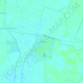
Name: Cucungara topographic map, elevation, terrain.
Average elevation: 69 ft
Minimum elevation: 59 ft
Maximum elevation: 82 ft

Click on the map to display elevation.
Name: Cucungara topographic map, elevation, terrain.
Average elevation: 69 ft
Minimum elevation: 59 ft
Maximum elevation: 82 ft