
Klipheuwel topographic map
Interactive map
Click on the map to display elevation.
About this map
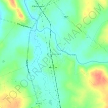
Name: Klipheuwel topographic map, elevation, terrain.
Location: Klipheuwel, City of Cape Town, Western Cape, South Africa (-33.73795 18.68796 -33.69795 18.72796)
Average elevation: 256 ft
Minimum elevation: 197 ft
Maximum elevation: 364 ft