
Bounoura topographic map
Interactive map
Click on the map to display elevation.
About this map
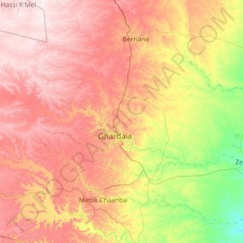
Name: Bounoura topographic map, elevation, terrain.
Location: Bounoura, Daïra Bounoura, Ghardaïa, Algérie (32.36729 3.14958 32.70526 4.16234)
Average elevation: 1,801 ft
Minimum elevation: 1,073 ft
Maximum elevation: 2,625 ft