
Chasm Creek topographic map
Interactive map
Click on the map to display elevation.
About this map
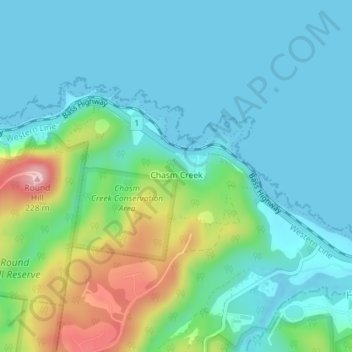
Name: Chasm Creek topographic map, elevation, terrain.
Location: Chasm Creek, Burnie, City of Burnie, Tasmania, Australia (-41.07619 145.95504 -41.06323 145.97501)
Average elevation: 161 ft
Minimum elevation: -16 ft
Maximum elevation: 705 ft