
Francistown topographic map
Interactive map
Click on the map to display elevation.
About this map
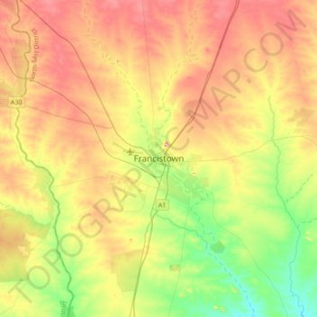
Name: Francistown topographic map, elevation, terrain.
Location: Francistown, North-East District, Botswana (-21.32636 27.34252 -21.00636 27.66252)
Average elevation: 3,304 ft
Minimum elevation: 3,084 ft
Maximum elevation: 3,543 ft