
Bhunter topographic map
Interactive map
Click on the map to display elevation.
About this map
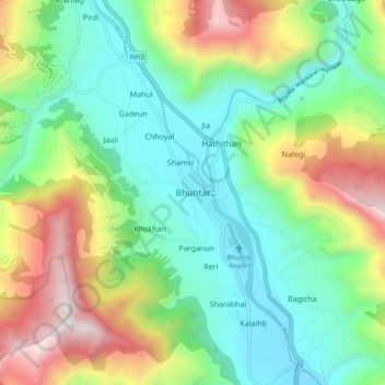
Name: Bhunter topographic map, elevation, terrain.
Location: Bhunter, Kullu, Himachal Pradesh, 175125, India (31.86265 77.12905 31.90265 77.16905)
Average elevation: 4,262 ft
Minimum elevation: 3,514 ft
Maximum elevation: 6,959 ft