
Eichenbühl topographic map
Click on the map to display elevation.
About this map
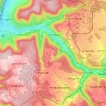
Name: Eichenbühl topographic map, elevation, terrain.
Location: Eichenbühl, Landkreis Miltenberg, Bavaria, 63928, Germany (49.64278 9.30126 49.73195 9.41948)
Average elevation: 1,102 ft
Minimum elevation: 404 ft
Maximum elevation: 1,594 ft
Other topographic maps
Click on a map to view its topography, its elevation and its terrain.
Miltenberg
Germany > Bavaria > Landkreis Miltenberg > Miltenberg > Miltenberg
Average elevation: 915 ft