
Angera topographic map
Interactive map
Click on the map to display elevation.
About this map
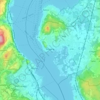
Name: Angera topographic map, elevation, terrain.
Location: Angera, Varese, Lombardia, 21021, Italia (45.74917 8.55225 45.79398 8.64528)
Average elevation: 761 ft
Minimum elevation: 623 ft
Maximum elevation: 1,696 ft