
Sabaya topographic map
Interactive map
Click on the map to display elevation.
About this map
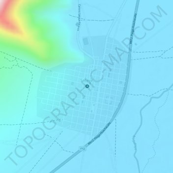
Name: Sabaya topographic map, elevation, terrain.
Location: Sabaya, Provincia Sabaya, Oruro, Bolivia (-19.02380 -68.37844 -19.00778 -68.36531)
Average elevation: 12,211 ft
Minimum elevation: 12,093 ft
Maximum elevation: 13,461 ft
Other topographic maps
Click on a map to view its topography, its elevation and its terrain.