
Irati topographic map
Interactive map
Click on the map to display elevation.
About this map
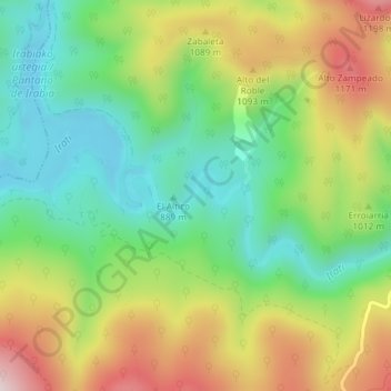
Name: Irati topographic map, elevation, terrain.
Location: Irati, Ochagavía/Otsagabia, Navarre, Espagne (42.98506 -1.13513 42.98817 -1.12735)
Average elevation: 3,205 ft
Minimum elevation: 2,635 ft
Maximum elevation: 4,049 ft