
Alverton topographic map
Click on the map to display elevation.
About this map
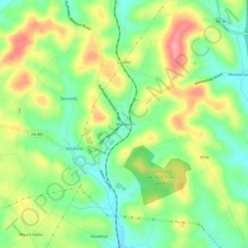
Name: Alverton topographic map, elevation, terrain.
Average elevation: 1,184 ft
Minimum elevation: 1,047 ft
Maximum elevation: 1,368 ft
Westmoreland County trails, hiking, mountain biking, running and outdoor activities
Other topographic maps
Click on a map to view its topography, its elevation and its terrain.
East Huntingdon Township
United States > Pennsylvania > Westmoreland County > East Huntingdon Township
Average elevation: 1,171 ft