
Pyŏngsŏng topographic map
Interactive map
Click on the map to display elevation.
About this map
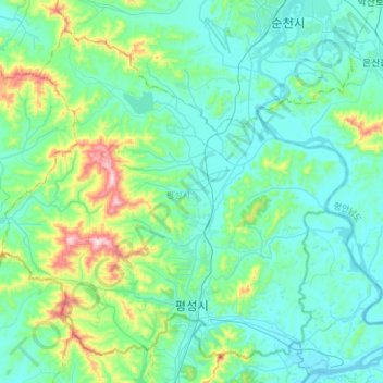
Name: Pyŏngsŏng topographic map, elevation, terrain.
Location: Pyŏngsŏng, Pyongannam-do, North Korea (39.21601 125.72129 39.41779 126.02094)
Average elevation: 374 ft
Minimum elevation: 69 ft
Maximum elevation: 1,791 ft