
Jehoster topographic map
Interactive map
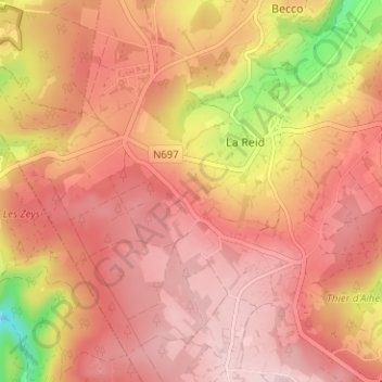
Click on the map to display elevation.
About this map
Name: Jehoster topographic map, elevation, terrain.
Location: Jehoster, Theux, Verviers, Liège, Wallonie, 4910, Belgique (50.46243 5.75680 50.50243 5.79680)
Average elevation: 1,129 ft
Minimum elevation: 571 ft
Maximum elevation: 1,381 ft