
Bardufoss topographic map
Interactive map
Click on the map to display elevation.
About this map
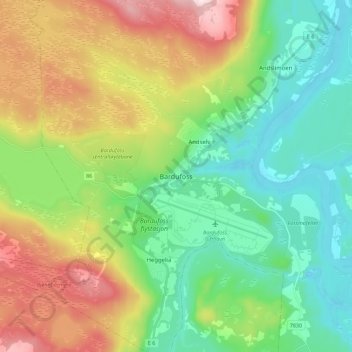
Name: Bardufoss topographic map, elevation, terrain.
Location: Bardufoss, Målselv, Troms og Finnmark, 9325, Norwegen (69.04500 18.50075 69.08500 18.54075)
Average elevation: 390 ft
Minimum elevation: 20 ft
Maximum elevation: 1,063 ft