
Maitland topographic map
Interactive map
Click on the map to display elevation.
About this map
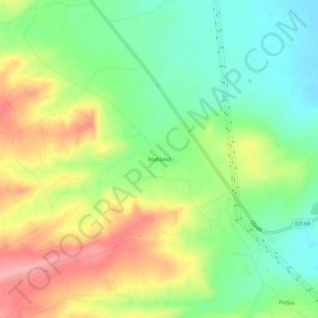
Name: Maitland topographic map, elevation, terrain.
Location: Maitland, Huerfano County, Colorado, 81089, USA (37.63668 -104.85388 37.67668 -104.81388)
Average elevation: 6,302 ft
Minimum elevation: 6,129 ft
Maximum elevation: 6,535 ft