
Make a donation
Gear up for your next adventure:
As an Amazon Associate, this site earns from qualifying purchases at no extra cost to you.
Bispingen topographic map
Click on the map to display elevation.
Make a donation
Gear up for your next adventure:
As an Amazon Associate, this site earns from qualifying purchases at no extra cost to you.
About this map
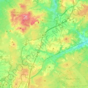
Name: Bispingen topographic map, elevation, terrain.
Location: Bispingen, Heidekreis, Lower Saxony, 29646, Germany (53.05650 9.86038 53.18087 10.11791)
Average elevation: 299 ft
Minimum elevation: 157 ft
Maximum elevation: 551 ft
Make a donation
Gear up for your next adventure:
As an Amazon Associate, this site earns from qualifying purchases at no extra cost to you.
Other topographic maps
Click on a map to view its topography, its elevation and its terrain.
Lüneburg Heath
Germany > Lower Saxony > Heidekreis > Soltau > Hötzingen > Emhof
Average elevation: 279 ft
Make a donation
Gear up for your next adventure:
As an Amazon Associate, this site earns from qualifying purchases at no extra cost to you.