
Lantz topographic map
Interactive map
Click on the map to display elevation.
About this map
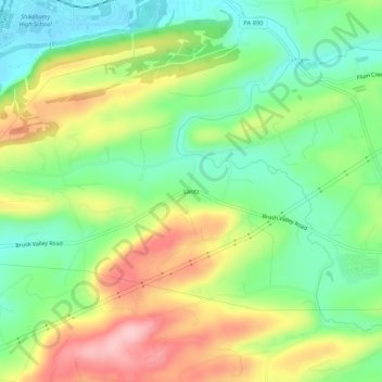
Name: Lantz topographic map, elevation, terrain.
Location: Lantz, Northumberland County, Pennsylvania, 17801, USA (40.81703 -76.78969 40.85703 -76.74969)
Average elevation: 666 ft
Minimum elevation: 427 ft
Maximum elevation: 1,010 ft