
Régina topographic map
Interactive map
Click on the map to display elevation.
About this map
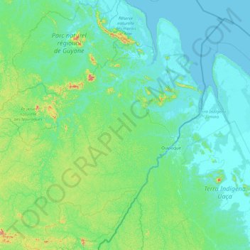
Name: Régina topographic map, elevation, terrain.
Location: Régina, Cayenne, Guiana Francesa, França (3.18874 -53.23319 4.78907 -51.75012)
Average elevation: 207 ft
Minimum elevation: -10 ft
Maximum elevation: 2,146 ft