
Putten Seter topographic map
Interactive map
Click on the map to display elevation.
About this map
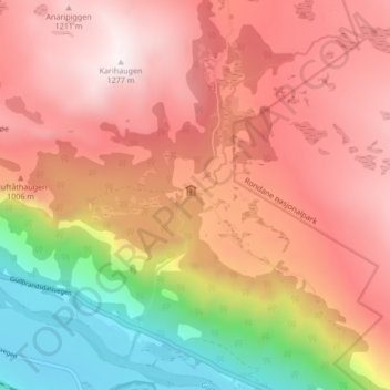
Name: Putten Seter topographic map, elevation, terrain.
Location: Putten Seter, Sel, Oppland, 2673, Noruega (61.83313 9.47109 61.87313 9.51109)
Average elevation: 2,871 ft
Minimum elevation: 955 ft
Maximum elevation: 4,183 ft