
Washoe City topographic map
Interactive map
Click on the map to display elevation.
About this map
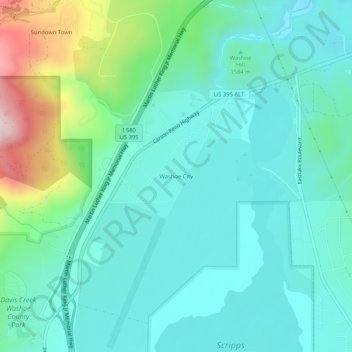
Name: Washoe City topographic map, elevation, terrain.
Location: Washoe City, Washoe County, Nevada, USA (39.30019 -119.82963 39.34019 -119.78963)
Average elevation: 5,233 ft
Minimum elevation: 4,928 ft
Maximum elevation: 6,322 ft