
Cooks Mill topographic map
Interactive map
Click on the map to display elevation.
About this map
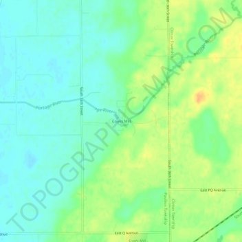
Name: Cooks Mill topographic map, elevation, terrain.
Location: Cooks Mill, Kalamazoo County, Michigan, 49088, USA (42.20004 -85.44389 42.24004 -85.40389)
Average elevation: 902 ft
Minimum elevation: 860 ft
Maximum elevation: 968 ft