
Valtournenche topographic map
Interactive map
Click on the map to display elevation.
About this map
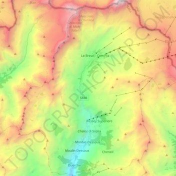
Name: Valtournenche topographic map, elevation, terrain.
Location: Valtournenche, Aosta Valley, Italy (45.84648 7.54885 45.97664 7.73489)
Average elevation: 8,661 ft
Minimum elevation: 4,049 ft
Maximum elevation: 14,268 ft