
Shardlow topographic map
Click on the map to display elevation.
About this map
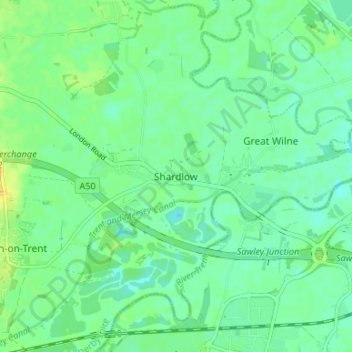
Name: Shardlow topographic map, elevation, terrain.
Average elevation: 115 ft
Minimum elevation: 85 ft
Maximum elevation: 167 ft
Other topographic maps
Click on a map to view its topography, its elevation and its terrain.
Cooper's Lake
United Kingdom > England > Derbyshire > South Derbyshire > Weston-on-Trent
Average elevation: 154 ft
Willington CP
United Kingdom > England > Derbyshire > South Derbyshire > Willington CP
Average elevation: 167 ft