
Gressoney-Saint-Jean topographic map
Interactive map
Click on the map to display elevation.
About this map
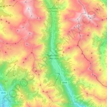
Name: Gressoney-Saint-Jean topographic map, elevation, terrain.
Location: Gressoney-Saint-Jean, Aosta Valley, 11025, Italy (45.72569 7.78171 45.83999 7.93131)
Average elevation: 7,149 ft
Minimum elevation: 3,514 ft
Maximum elevation: 10,866 ft