
Kauman topographic map
Interactive map
Click on the map to display elevation.
About this map
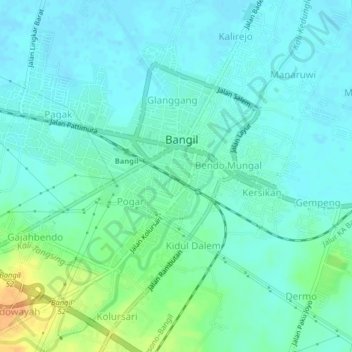
Name: Kauman topographic map, elevation, terrain.
Location: Kauman, Pasuruan, Jatim, 67153, Indonesia (-7.62182 112.76387 -7.58182 112.80387)
Average elevation: 30 ft
Minimum elevation: -3 ft
Maximum elevation: 121 ft