Geolocate

Gardnerville topographic map

Click on the map to display elevation.

About this map

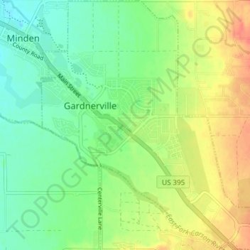
Name: Gardnerville topographic map, elevation, terrain.

Location: Gardnerville, Douglas County, Nevada, 89410, United States (38.91424 -119.76135 38.96131 -119.70264)

Average elevation: 4,764 ft

Minimum elevation: 4,711 ft

Maximum elevation: 4,846 ft

Douglas County trails, hiking, mountain biking, running and outdoor activities

Gear up for your next adventure:

🕶️Glacier Sunglasses - Side shields to protect eyes from high-altitude snow glare
🔥Fast-Boil Camping Stoves - Efficient cooking systems for quick trail meals
📱Solar Portable Charger - Solar power bank for charging devices off‑grid
🧢Sun Protection Hats - Wide-brimmed and UPF-rated hats for high-altitude sun safety
🧣Merino Neck Gaiters - Multi-functional headwear for wind and sun protection

As an Amazon Associate, this site earns from qualifying purchases at no extra cost to you.