

Fort Morgan topographic map
Click on the map to display elevation.
Fort Morgan
Fort Morgan is located at 40°15′12″N 103°47′57″W / 40.25333°N 103.79917°W / 40.25333; -103.79917 in Morgan County, Colorado at an elevation of 4,324 feet (1,318 m).
About this map
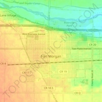
Name: Fort Morgan topographic map, elevation, terrain.
Location: Fort Morgan, Morgan County, Colorado, United States (40.23594 -103.82015 40.27422 -103.75417)
Average elevation: 4,314 ft
Minimum elevation: 4,249 ft
Maximum elevation: 4,364 ft
Morgan County trails, hiking, mountain biking, running and outdoor activities