
汝村 topographic map
Interactive map
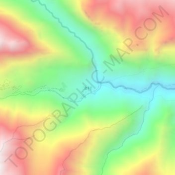
Click on the map to display elevation.
About this map
Name: 汝村 topographic map, elevation, terrain.
Location: 汝村, Gyirong, 日喀则市 གཞིས་ཀ་རྩེ་གྲོང་ཁྱེར།, Tibet, Chine (28.68306 84.69471 28.72306 84.73471)
Average elevation: 14,255 ft
Minimum elevation: 12,257 ft
Maximum elevation: 16,680 ft