
Isla Roncal topographic map
Interactive map
Click on the map to display elevation.
About this map
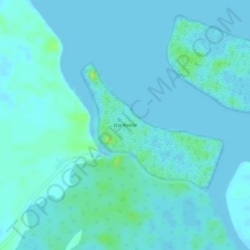
Name: Isla Roncal topographic map, elevation, terrain.
Location: Isla Roncal, Zarumilla, Distrito de Zarumilla, Tumbes, Perú (-3.43268 -80.29724 -3.41900 -80.28178)
Average elevation: 10 ft
Minimum elevation: 0 ft
Maximum elevation: 46 ft
Other topographic maps
Click on a map to view its topography, its elevation and its terrain.