
Perry Lake topographic map
Interactive map
Click on the map to display elevation.
About this map
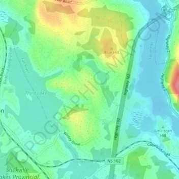
Name: Perry Lake topographic map, elevation, terrain.
Average elevation: 138 ft
Minimum elevation: 52 ft
Maximum elevation: 344 ft
Other topographic maps
Click on a map to view its topography, its elevation and its terrain.
Fall River
Canada > Nova Scotia > Fall River > Fall River
Fall River, Nova Scotia, Canada
Average elevation: 200 ft