
Tanna topographic map
Interactive map
Click on the map to display elevation.
About this map
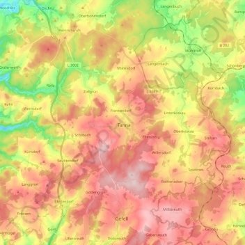
Name: Tanna topographic map, elevation, terrain.
Location: Tanna, Saale-Orla-Kreis, Turingia, 07922, Alemania (50.44923 11.73136 50.54272 11.96433)
Average elevation: 1,768 ft
Minimum elevation: 1,299 ft
Maximum elevation: 2,146 ft