
Rush River Delta State Natural Area topographic map
Interactive map
Click on the map to display elevation.
About this map
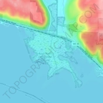
Name: Rush River Delta State Natural Area topographic map, elevation, terrain.
Average elevation: 745 ft
Minimum elevation: 659 ft
Maximum elevation: 1,056 ft