
Ceci topographic map
Interactive map
Click on the map to display elevation.
About this map
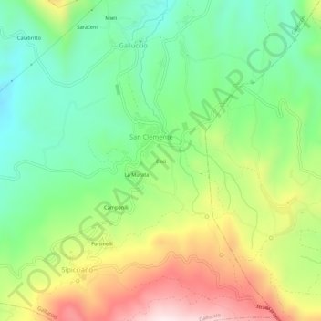
Name: Ceci topographic map, elevation, terrain.
Location: Ceci, San Clemente, Galluccio, Caserta, Campanie, Italie (41.31788 13.93832 41.35788 13.97832)
Average elevation: 1,325 ft
Minimum elevation: 600 ft
Maximum elevation: 2,467 ft