
Timgad topographic map
Interactive map
Click on the map to display elevation.
About this map
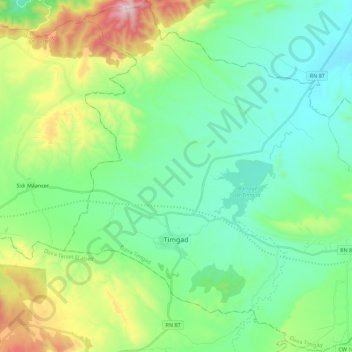
Name: Timgad topographic map, elevation, terrain.
Location: Timgad, Timgad district, Batna, 05023, Algeria (35.43571 6.39924 35.61761 6.61918)
Average elevation: 3,694 ft
Minimum elevation: 2,986 ft
Maximum elevation: 5,712 ft