
Samaria topographic map
Interactive map
Click on the map to display elevation.
About this map
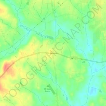
Name: Samaria topographic map, elevation, terrain.
Location: Samaria, Nash County, North Carolina, USA (35.83988 -78.19833 35.87988 -78.15833)
Average elevation: 249 ft
Minimum elevation: 180 ft
Maximum elevation: 335 ft