
Calientes topographic map
Interactive map
Click on the map to display elevation.
About this map
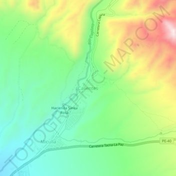
Name: Calientes topographic map, elevation, terrain.
Location: Calientes, Provincia de Tacna, Tacna, Perú (-17.88319 -70.14214 -17.84319 -70.10214)
Average elevation: 4,485 ft
Minimum elevation: 3,829 ft
Maximum elevation: 5,610 ft