
Somerset Dam topographic map
Interactive map
Click on the map to display elevation.
About this map
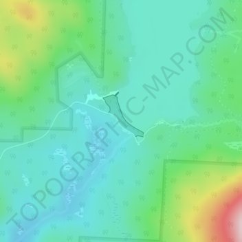
Name: Somerset Dam topographic map, elevation, terrain.
Location: Somerset Dam, Somerset, Windham County, Vermont, USA (42.97364 -72.95071 42.97374 -72.95061)
Average elevation: 2,221 ft
Minimum elevation: 1,982 ft
Maximum elevation: 2,979 ft
Other topographic maps
Click on a map to view its topography, its elevation and its terrain.
Mount Snow
Mount Snow, Somerset, Windham County, Vermont, USA
Average elevation: 2,838 ft