
Río Guadiana topographic map
Interactive map
Click on the map to display elevation.
About this map
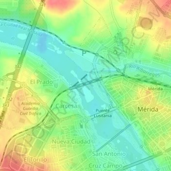
Name: Río Guadiana topographic map, elevation, terrain.
Location: Río Guadiana, Mérida, Badajoz, Extremadura, 06800, Spain (38.91743 -6.36171 38.92490 -6.35455)
Average elevation: 728 ft
Minimum elevation: 640 ft
Maximum elevation: 846 ft