Geolocate

Bolpur topographic map

Click on the map to display elevation.

About this map

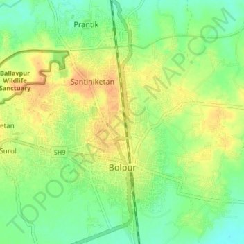
Name: Bolpur topographic map, elevation, terrain.

Location: Bolpur, Bolpur Sriniketan, Birbhum District, West Bengal, India (23.64183 87.66387 23.70303 87.70963)

Average elevation: 164 ft

Minimum elevation: 108 ft

Maximum elevation: 226 ft

Other topographic maps

Click on a map to view its topography, its elevation and its terrain.

Sriniketan

India > West Bengal > Bolpur Sriniketan

Sriniketan has an average elevation of 49 metres (161 ft).

Average elevation: 174 ft

Gear up for your next adventure:

🖼️Topo Map Wall Art - Decorative topographic prints of famous peaks and regions
🛶Inflatable Kayak - Portable kayak for rivers, lakes, and expeditions
😴Insulated Sleeping Pads - Compact and warm pads for high-elevation camping
🩹Survival Bandages - High‑quality bandages for emergencies
🧤Hiking Gloves - Protective gloves for rugged trails

As an Amazon Associate, this site earns from qualifying purchases at no extra cost to you.