
Stjärnsund topographic map
Interactive map
Click on the map to display elevation.
About this map
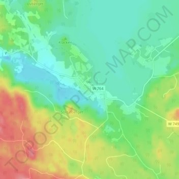
Name: Stjärnsund topographic map, elevation, terrain.
Location: Stjärnsund, Hedemora, Dalecarlia, Region Svealand, Sweden (60.41314 16.18942 60.45314 16.22942)
Average elevation: 463 ft
Minimum elevation: 374 ft
Maximum elevation: 633 ft