
Hohennauen topographic map
Interactive map
Click on the map to display elevation.
About this map
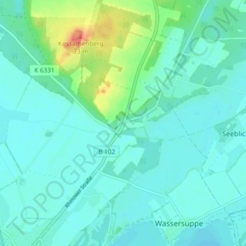
Name: Hohennauen topographic map, elevation, terrain.
Location: Hohennauen, Elslaake, Rhinow, Havelland, Brandenburg, Germany (52.66840 12.34330 52.70840 12.38330)
Average elevation: 108 ft
Minimum elevation: 72 ft
Maximum elevation: 249 ft