
Desa Seringat topographic map
Interactive map
Click on the map to display elevation.
About this map
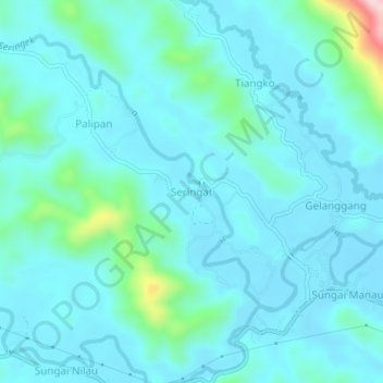
Name: Desa Seringat topographic map, elevation, terrain.
Location: Desa Seringat, Kecamatan Sumay, Jambi, Indonesia (-2.12072 101.95436 -2.08072 101.99436)
Average elevation: 574 ft
Minimum elevation: 436 ft
Maximum elevation: 1,483 ft