
La Parra topographic map
Interactive map
Click on the map to display elevation.
About this map
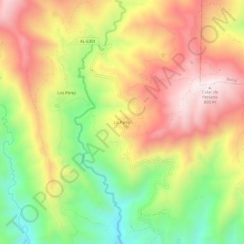
Name: La Parra topographic map, elevation, terrain.
Location: La Parra, Almería, Andalucía, España (36.76250 -3.08776 36.80250 -3.04776)
Average elevation: 1,713 ft
Minimum elevation: 427 ft
Maximum elevation: 2,907 ft