
Steynton topographic map
Interactive map
Click on the map to display elevation.
About this map
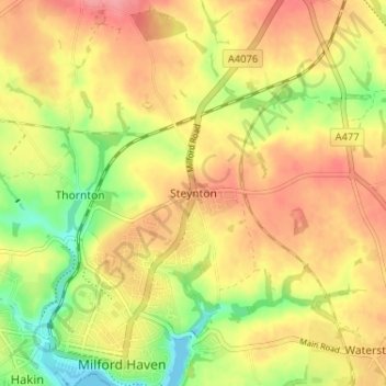
Name: Steynton topographic map, elevation, terrain.
Location: Steynton, Pembrokeshire, Wales, SA73 1AP, United Kingdom (51.70953 -5.03732 51.74953 -4.99732)
Average elevation: 157 ft
Minimum elevation: -3 ft
Maximum elevation: 276 ft