
Oaklands topographic map
Interactive map
Click on the map to display elevation.
About this map
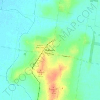
Name: Oaklands topographic map, elevation, terrain.
Location: Oaklands, Federation Council, New South Wales, Australia (-35.59541 146.12947 -35.51541 146.20947)
Average elevation: 436 ft
Minimum elevation: 397 ft
Maximum elevation: 541 ft