
Grand Erg Oriental topographic map
Interactive map
Click on the map to display elevation.
About this map
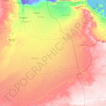
Name: Grand Erg Oriental topographic map, elevation, terrain.
Location: Grand Erg Oriental, El Borma, daïra El Borma, Ouargla, RADP (28.44246 4.08318 34.09729 10.28166)
Average elevation: 860 ft
Minimum elevation: -102 ft
Maximum elevation: 2,415 ft