
Jarvisburg topographic map
Interactive map
Click on the map to display elevation.
About this map
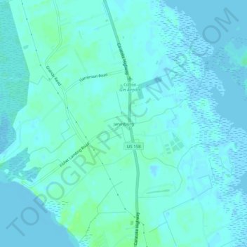
Name: Jarvisburg topographic map, elevation, terrain.
Location: Jarvisburg, Currituck County, North Carolina, 27947, USA (36.18294 -75.88658 36.22294 -75.84658)
Average elevation: 10 ft
Minimum elevation: -10 ft
Maximum elevation: 33 ft