
Kadasanikottapalle topographic map
Interactive map
Click on the map to display elevation.
About this map
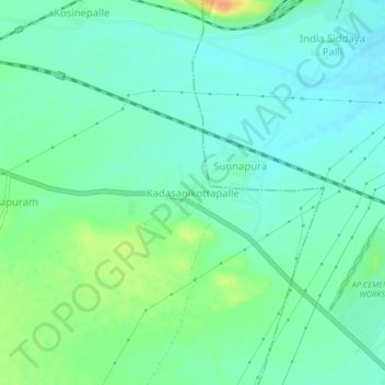
Name: Kadasanikottapalle topographic map, elevation, terrain.
Location: Kadasanikottapalle, YSR, Andhra Pradesh, 516380, India (14.65291 78.41837 14.69291 78.45837)
Average elevation: 597 ft
Minimum elevation: 561 ft
Maximum elevation: 682 ft